
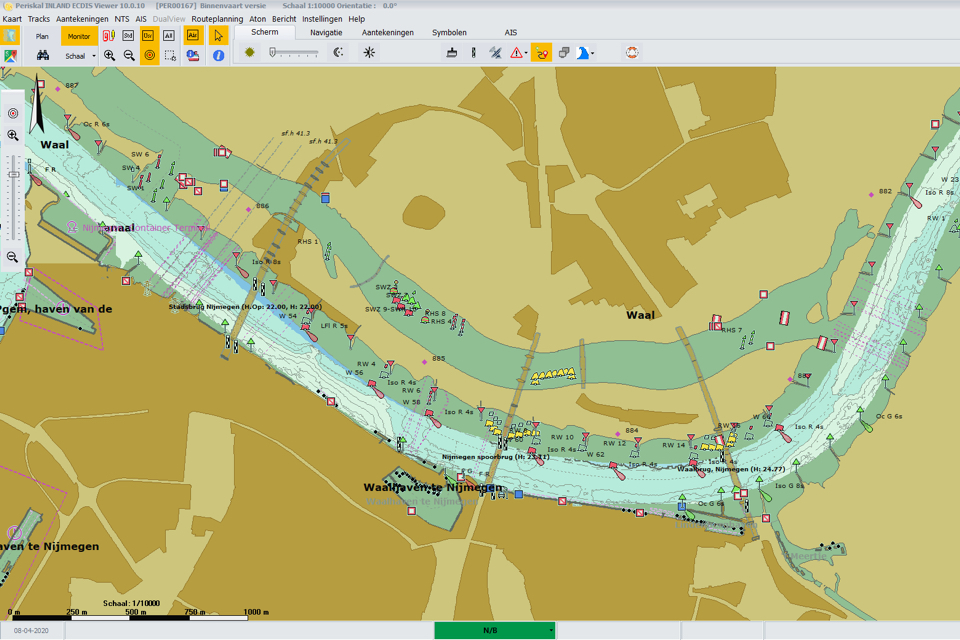
CoVadem’s Smart Navigation module will soon be available for users of the Inland ECDIS viewers of Periskal and Tresco Engineering. The module shows real-time water depths of the Waal and Rhine rivers integrated in the electronic navigational chart.
From Rotterdam to Basel, Smart Navigation makes current water depths visible in the Inland ECDIS viewer in the wheelhouse. CoVadem maps this information through its “sailing measuring network” of connected ships. The data from the sensors of over 200 ships are processed, analysed and enriched centrally.
Up-to-date and automatic
The information is up to date; skippers receive a daily update of the depth data on board, based on the measurements of the ships sailing in front of them. In the future, several updates per day will become available. The data is automatically processed in the Inland ECDIS systems.
Smart Navigation currently covers the rivers Waal and Rhine, but will be gradually expanded in the coming years to other rivers.
‘This is additional, essential information that previously was not available,’ says Periskal Director Marc Persoons. ‘Information on water depths was in fact part of ECDIS, but the government never made up-to-date data available. Thanks to the crowdsourcing by CoVadem, that up-to-date information is now available.’
‘As a skipper you want to know where it really is deep and shallow while sailing,’ adds Persoons. ‘Not just the theoretical fairway and how it should be.’
Extensive tests
CoVadem, Periskal and Tresco have recently made it technically possible to link Smart Navigation with the ECDIS viewers, in accordance with the applicable standards. The new function has now been extensively tested in practice on several test vessels.
Smart Navigation will soon be available to all ship owners in the form of a subscription. Vessels participating in the measuring CoVadem network will receive a discount.